Essential Costa Rica

Visit Costa Rica

  • Home
  • Costa Rica

    About Costa Rica

    • About Costa Rica
    • Knowing Costa Rica
    • What makes Costa Rica Unique?
    • Sustainability

    About CR 2

    • National Parks
    • Climate
    • FAQ's

    Information

    • Bus Itinerary
    • Costa Rica Blog
    • Find some Balance
  • Things To Do

    Things to Do 1

    • Adventure
    • Sun and Beaches
    • Ecotourism

    Things to do 2

    • Culture
    • Families
    • Rural Tourism

    Things to do 3

    • Birdwatching
    • Honeymoon and Weddings
    • Wellness

    Things to do 4

    • Cruises
    • Meetings and Incentives
    • Greatest Wildlife Spectacles
  • Where to Go

    col 1

    • Guanacaste
    • Caribbean

    col 2

    • Puntarenas
    • Central Valley

    Col Mapa

    • Northern Plains
    • Central Pacific

    Col 3 where

    • South Pacific
    • Costa Rica Maps
  • Planning your trip

    Touristic Service Providers

    • Suggested itineraries
    • Accommodations
    • Airlines Flying to Costa Rica
    • Rent A Cars in Costa Rica

    Travel Information

    • Exchange Rates
    • Entry Requirements
    • Traveler Tips
    • Tourism Information Centers

    Agencias

    • Bus Itinerary
    • Restaurants
    • Local Travel Agencies

    Service Providers 2

    • International Travel Agencies
    • Other Activities
    • Tour Guides
  • More

    Contact Us

    • Contact Us
    • Phone Numbers
    • Press

    Follow Us 2

    • Email Sign-Up
    • Complaint
    • Publications
    • Instagram

    Follow Us

    • Pinterest
    • Facebook
    • Twitter
    • YouTube

Visit Costa Rica

  • English
  • Español
  • Français
  • Deutsch
  • Italiano
  • Portuguese

Search form

  • Home
  • Costa Rica

    About Costa Rica

    • About Costa Rica
    • Knowing Costa Rica
    • What makes Costa Rica Unique?
    • Sustainability

    About CR 2

    • National Parks
    • Climate
    • FAQ's

    Information

    • Bus Itinerary
    • Costa Rica Blog
    • Find some Balance
  • Things To Do

    Things to Do 1

    • Adventure
    • Sun and Beaches
    • Ecotourism

    Things to do 2

    • Culture
    • Families
    • Rural Tourism

    Things to do 3

    • Birdwatching
    • Honeymoon and Weddings
    • Wellness

    Things to do 4

    • Cruises
    • Meetings and Incentives
    • Greatest Wildlife Spectacles
  • Where to Go

    col 1

    • Guanacaste
    • Caribbean

    col 2

    • Puntarenas
    • Central Valley

    Col Mapa

    • Northern Plains
    • Central Pacific

    Col 3 where

    • South Pacific
    • Costa Rica Maps
  • Planning your trip

    Touristic Service Providers

    • Suggested itineraries
    • Accommodations
    • Airlines Flying to Costa Rica
    • Rent A Cars in Costa Rica

    Travel Information

    • Exchange Rates
    • Entry Requirements
    • Traveler Tips
    • Tourism Information Centers

    Agencias

    • Bus Itinerary
    • Restaurants
    • Local Travel Agencies

    Service Providers 2

    • International Travel Agencies
    • Other Activities
    • Tour Guides
  • More

    Contact Us

    • Contact Us
    • Phone Numbers
    • Press

    Follow Us 2

    • Email Sign-Up
    • Complaint
    • Publications
    • Instagram

    Follow Us

    • Pinterest
    • Facebook
    • Twitter
    • YouTube
Tenorio Volcano
National Park

You are here

Home » Costa Rica » Where to Go » Protected areas » Tenorio Volcano National Park
Tenorio Volcano National Park

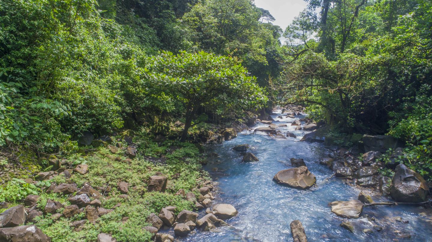
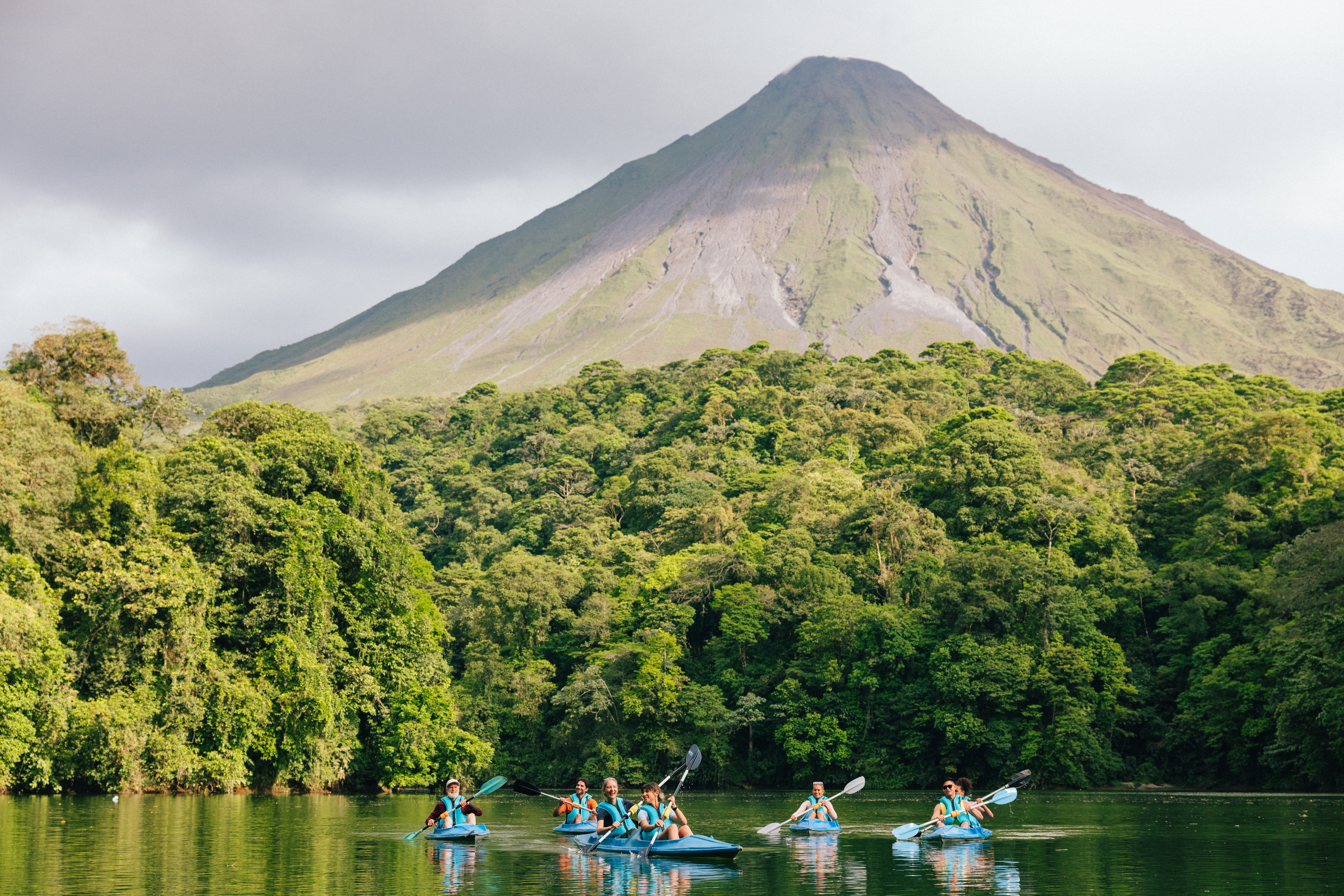
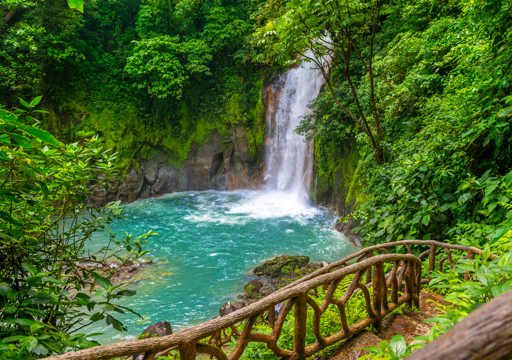
This park is located in the volcanic mountain range in Guanacaste and is home to lowland mountain rain forests, tropical wet forest, and the very wet premontane forest. Its highest point measures 6,289 ft. above sea level. Some of the more prominent plant species include palm trees, ferns, bromeliads, and orchids.

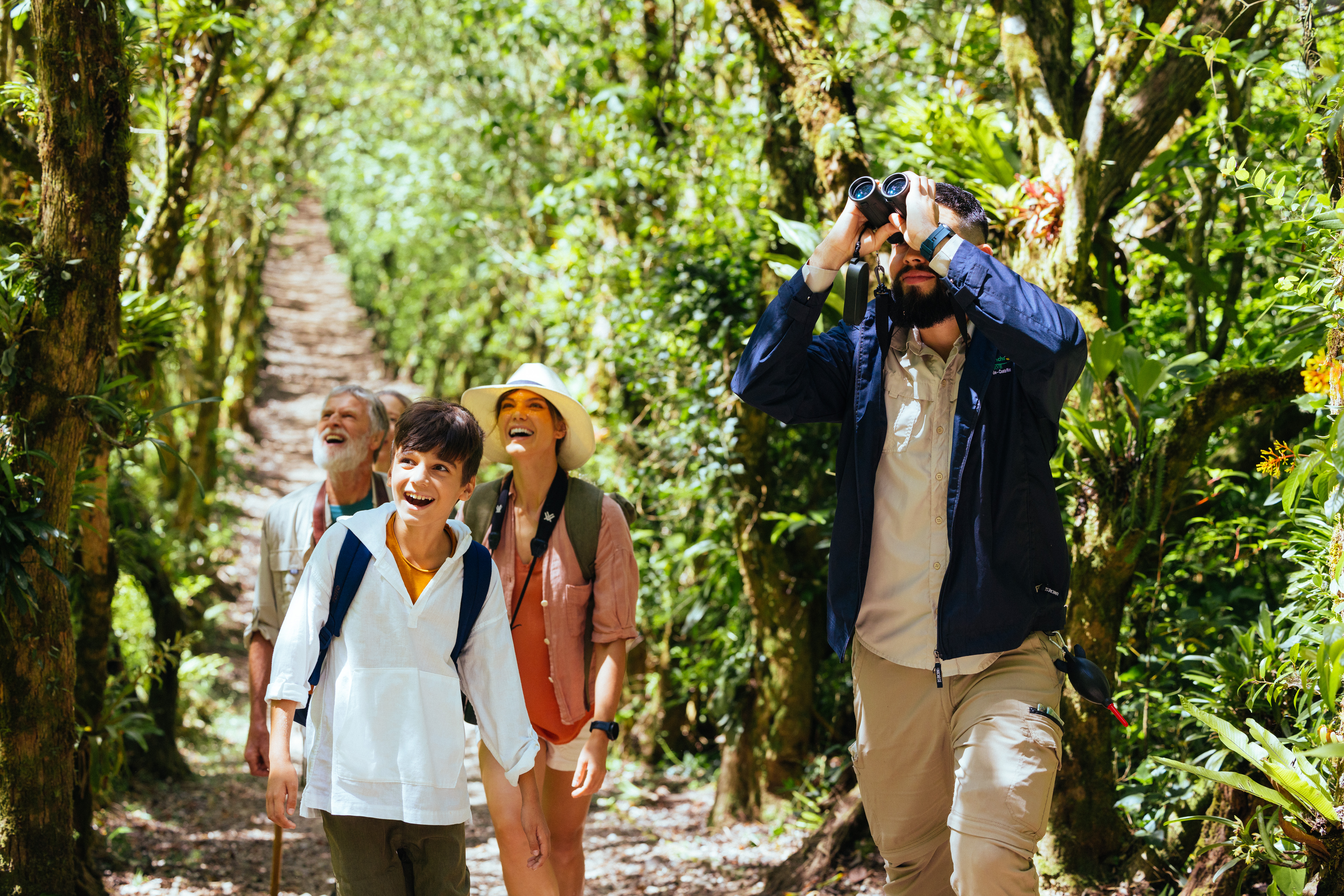
White-faced monkeys, anteaters, pumas, tapirs, and peccaries as well as exotic bird species like trogons and the three-wattled bellbird are sighted here. This area has a park, potable water, restrooms, lodging for researchers, an information desk, trails, and lookout points for your convenience.

Surface Area: 
12,905 km2
Hours of Operation: 
Admission to the park is every day from 8 a.m. to 2 p.m.; exit is 4 p.m.
Telephone: 
+506 2206-5369
Directions: 

By car: Take the General Cañas Highway towards Puntarenas. Continue on the Inter-American North to Cañas. About 10 km after Cañas, turn right towards Bijagua. Once you are in the community of Bijagua, turn and head 9 kilometers east in front of the sawmill.

You can also take Route 27 to Caldera from San José, which takes approximately 3.5 hours driving. From the Daniel Oduber Quirós International Airport in Liberia, follow the road to Liberia, and once at the intersection of Liberia continue towards Bagaces/Cañas. About 10 km (6 miles) before Cañas, turn left towards Bijagua. Once you are in the community of Bijagua, turn and go 9 kilometers east in front of the sawmill. Also, from Liberia it is about a 1.5-hour drive. Another alternative route is to take the Inter-American Highway from San José to Ciudad Quesada (San Carlos) and then on to Upala. In Upala, turn left towards Bijagua and continue for 48 km (30 miles) to the park entrance, the same one that is located in front of the sawmill in Bijagua de Upala; from there it is 9 kilometers to the east.

Another route is through San Rafael de Guatuso and continuing to the communities of Katira of Guatuso, Río Celeste and Pilón, where the park administration and entrance is located.

Planning your Trip to Costa Rica

Suggested itineraries

Accommodations

Rent A Car

Airlines

Restaurants

Other Activities

Local Travel Agencies

Travel Tips

#EssentialCostaRica

  • Home
  • Costa Rica
  • Costa Rica Blog
  • Things To Do
  • Where to Go
  • Planning your trip
  • National Parks
  • Climate
  • FAQ's
  • Contact Us


Costa Rica Tourism Board, Institutional Site

Costa Rica Convention Center, Promotional Site


© Costa Rica Tourism Board | Terms of Use | Privacy Policy | Site Map

Logo