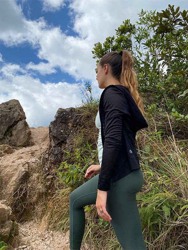
Cartago has always been a great destination to get away from the hustle and bustle of the big city. We wanted to do a bit of hiking and so we headed towards one of the massifs located in the province, specifically in the Volcán Irazú National Park.
We left downtown San José and drove for 51 km – it was a trip of about an hour and a half (see directions). When we got to Cartago – the Pacayas area, more specifically – we met several farmers working the land and others selling their products on the side of the highway. It’s an obligatory stop to purchase fruits, vegetables, a variety of cheeses and even flowers – all the better because we were supporting the local farmers.
We had just left the car when a group of coatis greeted us. They got up close to ask for food, but it’s important for visitors to know that giving animals food in the country’s national parks is forbidden.
Majestic views
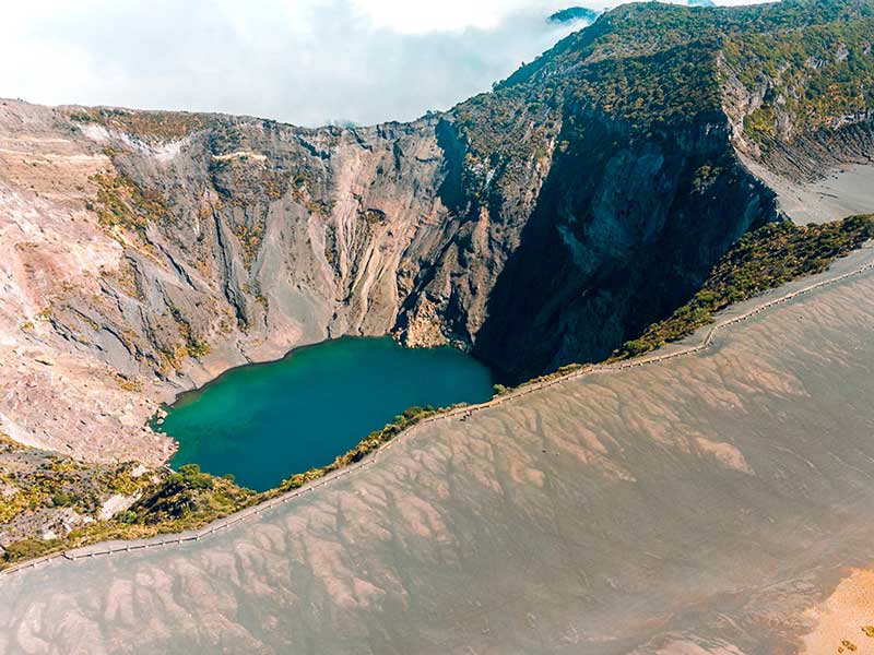
The day was sunny, though it is normally quite cold at the peak (5-10°C) so it’s a good idea to bring warm clothing. It’s the highest volcano in Costa Rica at 3,432 meters (11,260 ft) above sea level. It has 5 craters, the largest of which measures 1.5 km (0.9 miles) in diameter and 300 m (985 ft) in height. Due to its position high in the Central Volcanic Range, it is a strategic point for telecommunications infrastructure, which is why several antennas can be seen at the peak for this purpose.
The path along its craters is truly invigorating – the paths are protected by security barriers that may not be crossed. The day we visited was quite cool with a clear sky. We recommend that you arrive early so that you’ll be just as lucky, as the peak often gets cloudy by midmorning. We were able to look down into the main crater and see the lake at the bottom, with spectacular sunflower tones of yellow and green.
In addition, there is the Playa Hermosa and Diego de la Haya craters, as well as the Sapper formation, which is the highest point on the mountain, from where you can see Costa Rica’s Pacific and Caribbean coasts.
In addition to information, visitor services include park rangers, trails, restrooms, a café and several natural lookouts.
Origin of the name
Irazú is derived from the language of the indigenous people who used to live in the area and means “peak of tremors and thunder” because of the several eruptions that the volcano has experienced over the course of its history.
Volcanic activity
The first large recorded eruption occurred in 1723, which destroyed the city of Cartago, which at the time was the capital of Costa Rica, while also covering much of San José in ash. This activity was documented by Diego de la Haya, which is why one of the craters bears his name.
Another one of the most memorable eruptions occurred in 1963, right when the country was hosting the former US President, John F. Kennedy. An accumulation of volcanic materials in the Río Reventado waterway caused an avalanche that destroyed around 300 houses in the city of Taras de Cartago. The volcano remained active for two more years after that date, gushing lava in powerful explosions.
In 1994, a sudden explosion occurred on the northern wall of the main crater, which produced an avalanche that spilled down to the Río Sucio waterway, coming to a stop on the other side of the bridge over the river located on the Braulio Carrillo highway. Since then, the volcano has only exhibited volcanic activity on the northern wall of the main crater.
All of the volcanic activity has made the region particularly ideal for agriculture, since the soil is very fertile. Visitors here will see many farms dedicated to cultivating strawberries, potatoes, onions, exotic flowers and milk.
Volcanoes are unpredictable, but visiting Irazú is completely safe. If any eruption hazard is detected that would represent a risk for visitors to the volcano, the park would be evacuated with plenty of time to spare.
Volcán Irazú National Park
The Volcán Irazú National Park was created by Law No. 1917 on July 30, 1955. It was later expanded by Executive Order no. 26945-MINAE of August 22, 1988 to its current size of 2,000 hectares.
The park is comprised of the observation facilities that overlook the volcano and its craters, as well as the sector known as Prusia. There are facilities to enjoy a picnic with food and drink that you bring (alcoholic drinks are not allowed), as well as hiking trails.
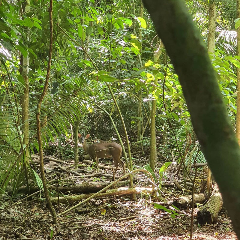
Flora and fauna Around 25 km2 (9.7 sq. mi.) are protected, which are home to many interesting species of plants and animals.
The plant growth is a sight to behold: it is arid at first glance, and looks like the moon. Tall pines are present further down, as well as the large leaves of “poor man’s umbrella”.
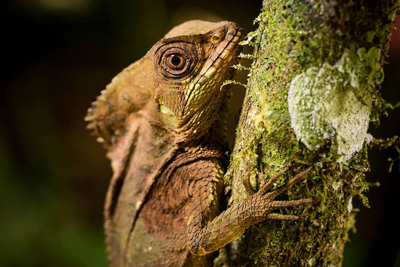
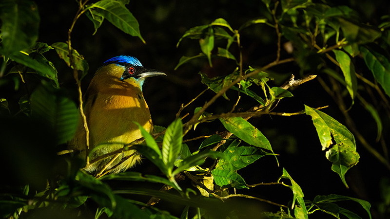
There are very few animals due to the volcanic activity. However, visitors can see robins, owls, hummingbirds, porcupines, rabbits, agoutis, coyotes and foxes in the area.
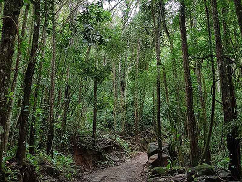
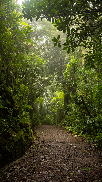
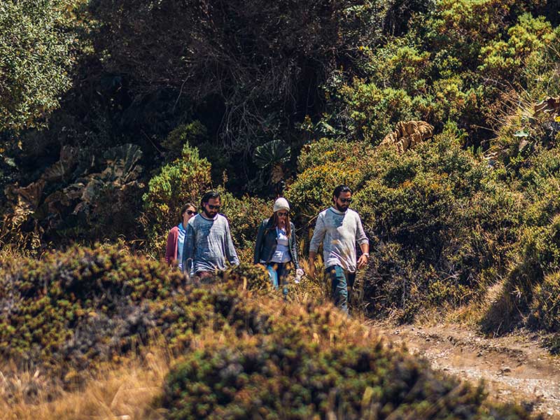
The Prusia area has 16 km of trails where you can enjoy a moment of relaxation in the middle of the natural surroundings. The zone is visited often by fitness buffs or trail-runners.
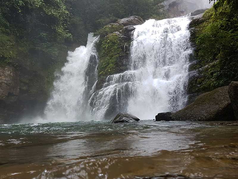
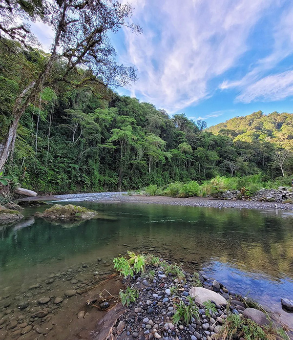
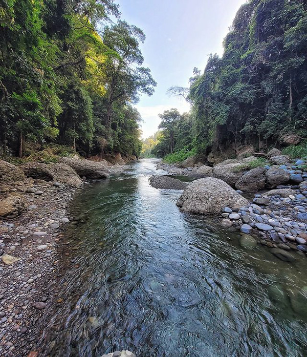
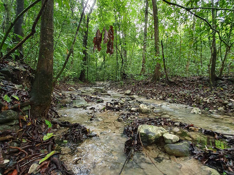
Various rivers and creeks have their source in the park, including the Reventazón, Sarapiquí, Sucio and Toro Amarillo.
Hours of operation Every day from 8:00 a.m. to 3:30 p.m. Includes holidays.
Services
- In the Cráteres section there is a parking lot, café, restrooms with access for persons with disabilities, an information kiosk located on the path to the main lookout, as well as three roofed picnic areas.
- The Prusia section contains the El Roble, Micaela, La Gruta, Chiverrales, Cabeza de Vaca, El Ahorcado, El Puma and Los Abuelos trails, as well as picnic areas, restrooms and running water.
Contact people:
- Cráteres section: 2200-5025
- Prusia section: 2200-4422
How do we get there?
By car
- Cráteres section: From San José, take the Florencio del Castillo highway and follow signage for Volcán Irazú (route 219). The volcano is 33 km (20 miles) north of Cartago.
- Prusia section: The route is the same as for Volcán Irazú, except that once you reach the Catholic church of Potrero Cerrado, you will need to follow the highway for 2 km (1.3 miles), turn left and keep going for 4 km (2.5 miles).
By bus
- The first option is a bus that leaves every day in front of Hotel Costa Rica in San José at 8:00 a.m. with a stop in Cartago. It stops on the east side of the Antiguo Cuartel (Tierra Blanca stop) around 8:40 a.m. and reaches the volcano around 10:00 a.m. It returns at 12:30 p.m.
- The second bus leaves Cartago at 12:00 p.m. from the Tierra Blanca stop. It reaches Irazú at 1:10 p.m. and returns at 2:55 p.m.
Recommendations
- Use comfortable clothing and closed-toe shoes for hikes. On sunny days you should use a hat and sunscreen; on cloudy days use a jacket or raincoat.
- Since it is an area with volcanic activity, it is important that you pay attention to the regulations put in place by park rangers to protect you in the event of an emergency.
- Remember that on days with high attendance, you will probably have to wait in line to use the restrooms.
- Weather conditions at the peak of Volcán Irazú change rapidly, meaning that there is no guarantee that you will be able to see the craters. Check the weather conditions before your visit.
- In the picnic areas, be careful around raccoons and agoutis that try to rob food.
It is important to be aware that, like other protected wildlife areas, the following is not allowed in Volcán Irazú National Park:
- Entering in a state of drunkenness or after having taken drugs.
- Entering with domestic animals or pets.
- Removing rocks, plants or other natural resources from the wilderness area.
- Leaving the trails or areas designed for public use.
- Smoking (Law 9028).
- Littering.
- Feeding wildlife.