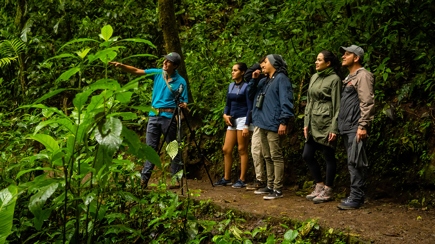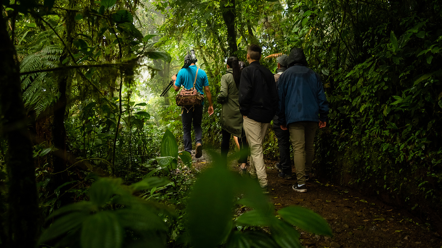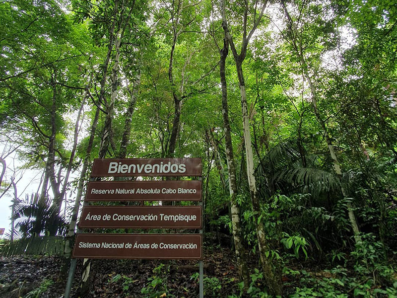


The Quetzal Education and Research Center is located in San Gerardo de Dota, Costa Rica, and acts as a second campus for the Southern Nazarene University. The Center helps students learn about field biology and research, while also promoting biodiversity, sustainability and social responsibility.
To this end, it collaborates with students and researchers around the world, helping to educate and carry out research based on tropical cloud forests and their communities of flora and fauna. QERC brings together local farmers and researchers, educators and students from around the world in an effort to combine best practices in conservation with the economic well-being of the community.
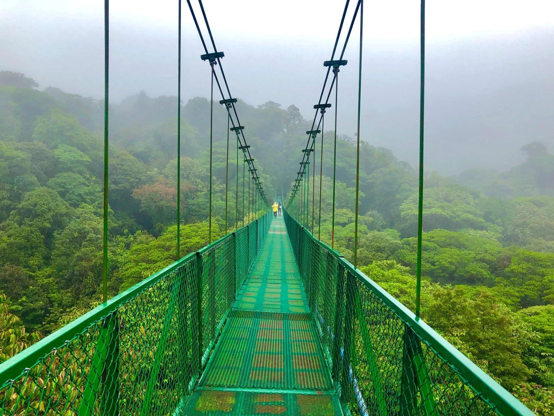
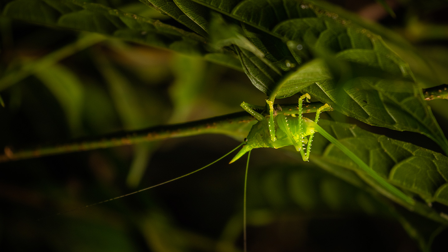
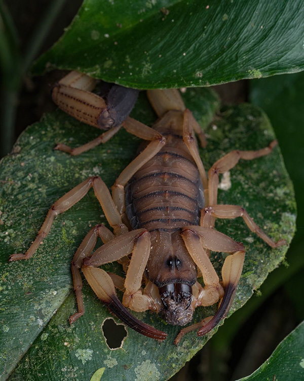
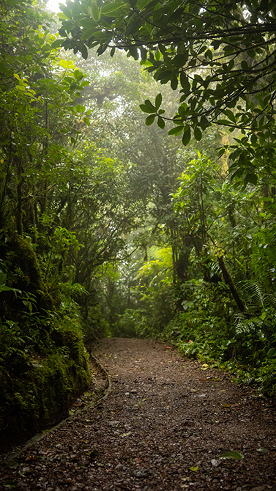
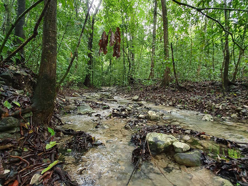
QERC is situated at on altitude of 7,200 feet (2,200 m), in the cloud forests of the Cordillera de Talamanca. It has access to over 20 kilometers of trails and a 980-acre private reserve. Located on the banks of the Savegre River, it is nestled in a habitat dominated by tropical oaks and bamboo, and covered in epiphytic plants, with constant moisture from the fog and daily rain. This productive habitat is an ecosystem with high levels of diversity in its flora and fauna. The intense local biodiversity and the variety of ecosystems, along with agricultural activity and commercial eco-tourism operations results in a diverse setting for multi-disciplinary education and research.
The Center's work focuses on research into quetzals and mammals, as well as environmental monitoring.
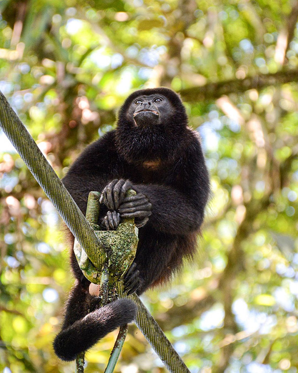
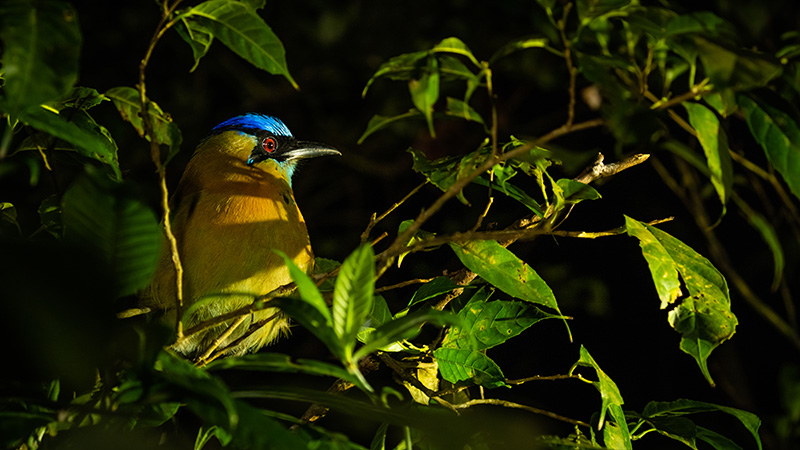
Quetzal research: The quetzal, from which our field station gets its name, has a special meaning for QERC. It was this particular species of trogon that led Dr. Leo Finkenbinder to conduct research in the Savegre Valley, which has become the basis for many of our current research initiatives. The quetzal continues to bring visitors from around the world, who hope to catch a glimpse of this spectacular bird. Quetzal research at QERC looks at the life cycle, habitat and diet of this magnificent bird, while the undergraduate teaching focuses on the fundamentals of field research.
Environmental monitoring: QERC currently leads an environmental and social monitoring program, whose purpose is to develop a detailed understanding of the relationship between the Savegre Biological Reserve and the impacts on residents and tourists. Currently, data collection makes use of the system of trails, the population of the valley, the agricultural census, sampling of the river water, and microclimate monitoring.
In collaboration with the University of Oklahoma and the Los Quetzales National Park, QERC has expanded the program to include monitoring within the park, the objective of which is to enhance the data that are available for this unique area of Costa Rica. Over time, we hope that these data will be used to help guide local conservation policy on climate change.
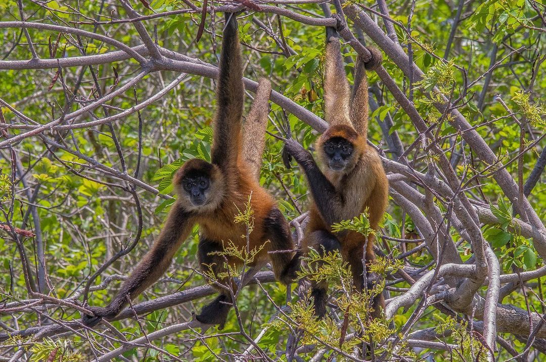
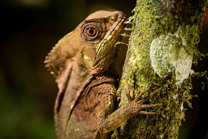
Mammal research: The objective of the mammal studies is to collect preliminary data on the presence of predator and prey species. Cameras with motion sensors were placed throughout the entire forest, a technique known as camera traps. Trail cameras were placed throughout the path system, and monitored for activity. The tracking team collected data every day on tracks and scat (excrement), which were used to identify the species and analyze their diet. In addition to working on the trails, the team interviewed long-term residents of the valley to build a historical picture of the changing mammal population over the last 50 years. These interviews gave rise to new information. For example, it was discovered that coyotes did not reach the valley until the 1970s, and sloths are said to still be present at intermediate elevations.
For more information, please call: 2740-1029 or 2740-1028. http://qerc.org/
About San Gerardo de Dota
The town of San Gerardo de Dota is one of the most beautiful regions of Costa Rica. It is located on the slopes of Cerro de La Muerte near the Inter-American Highway at 2,200 meters above sea level. It is 85 kilometres southwest of the city of San José in the Talamanca Mountain Range of the Central Valley region. It was discovered in 1952 by the Costa Rican brothers Efraín and Federico Chacón, who were on a hunting trip in the area.
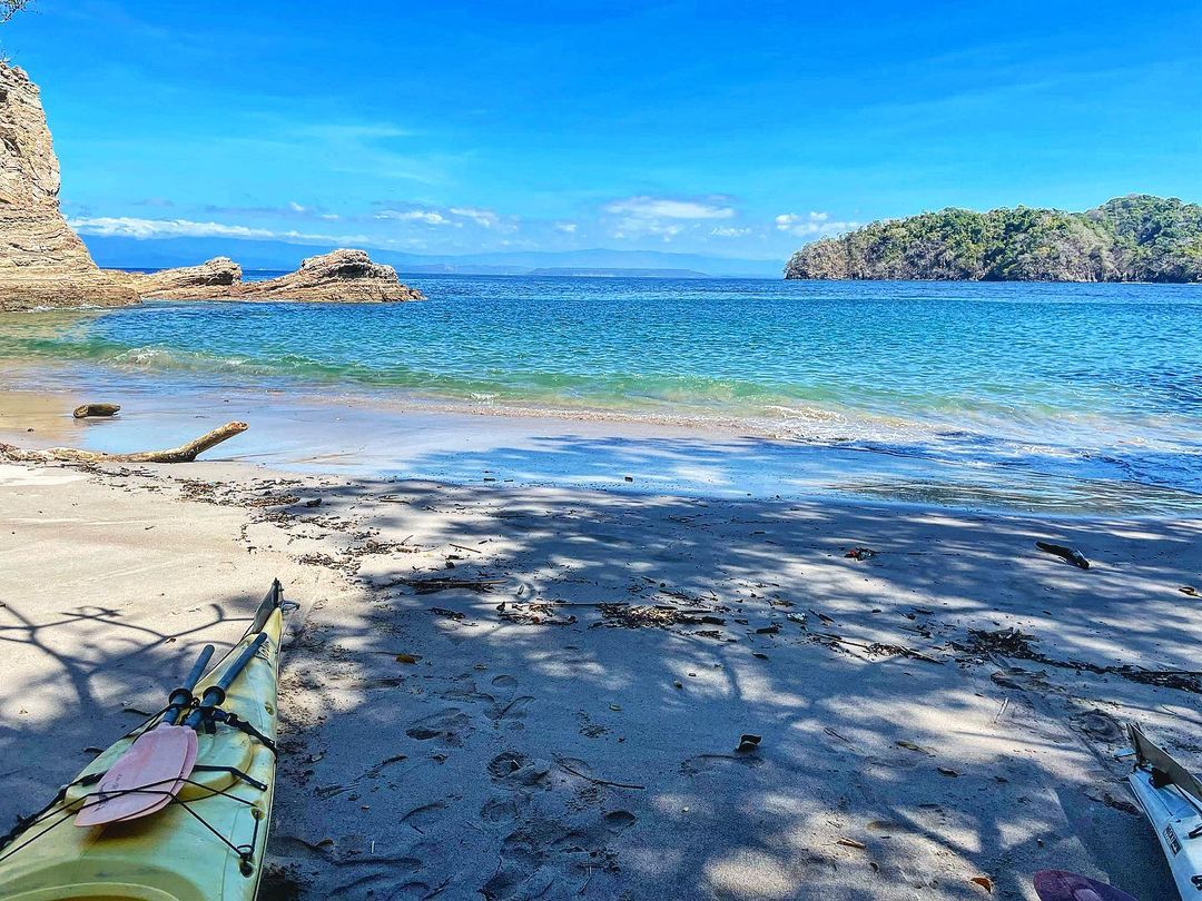
It is a small farming community located in the valley through which the Savegre river passes, which is the cleanest river in Central America and Costa Rica. This beautiful region is home to some of the most spectacular birds in the world, including woodpeckers and quetzales, which can be seen for most of the year, though April and May are especially ideal. More than 170 species can be found, some of which are endemic to the area.
Main accommodations in San Gerardo de Dota:
- Hotel Savegre: +506 2740-1028 - Trogón Lodge: +506 2740-1051 - Dantica Lodge: +506 2740 1067 - Suria Lodge: +506 2740-1004 - Sueños del Bosque Lodge: +506 2740-1023 - Paraíso Quetzal Lodge: +506 2200-0241